
55. Neuburg Donauschwimmen 2026
- Jan 31, 2026
- Last edition date
- Distance: 4km
At a glance
- Last edition date
- January 31, 2026
- Distances
- 4 km
- Where
- River · Donau, Neuburg an der Donau, Neuburg an der Donau, Bayern, Germany
- Entry fee
- 17 €
- Registration
- neuburg-donau.info
About the race
On the last Saturday of January, a cannon blast echoes over the Danube at Bittenbrunn, sending nearly two thousand swimmers into near-freezing river waters. Known as Europe's largest winter swimming event, the Neuburg Donauschwimmen draws participants for a four-kilometer descent through the winter current, starting at the Bittenbrunn barrage and finishing downstream at the rowing club. The event was founded in 1970 when eight members of the Wasserwacht, the local water rescue service, decided to carry out a cold-water ice test for fun. Organized every year by the Wasserwacht Neuburg, the swim takes place in late January. The descent is traditionally opened with a loud salute fired by the Böllerschützen, the traditional gunners who signal the mass start into the water.
Stepping into the winter Danube demands mental resolve, as the river current runs in air temperatures around three degrees below freezing and water temperatures hovering near one degree. While the vast majority of swimmers tackle the four kilometers insulated in thick neoprene wetsuits and thermal gear, about fifty hardy ice swimmers enter the freezing river wearing nothing more than standard swimming trunks. What helps swimmers endure the intense cold is the cheerful, carnival-like mood of the floating community. More than fifteen hundred participants take to the water in colorful, imaginative outfits, from Minion-themed costumes to floating party accessories. Swimmers drift side by side down the river course, laughing, chatting, and distracting one another from the chill of the three-degree water.
At the end of the four kilometers, participants exit the Danube at the boat house to warm up before gathering to celebrate into the night at the traditional Donauschwimmerball.
Along the Neuburg waterfront: spectators, crews and the finish
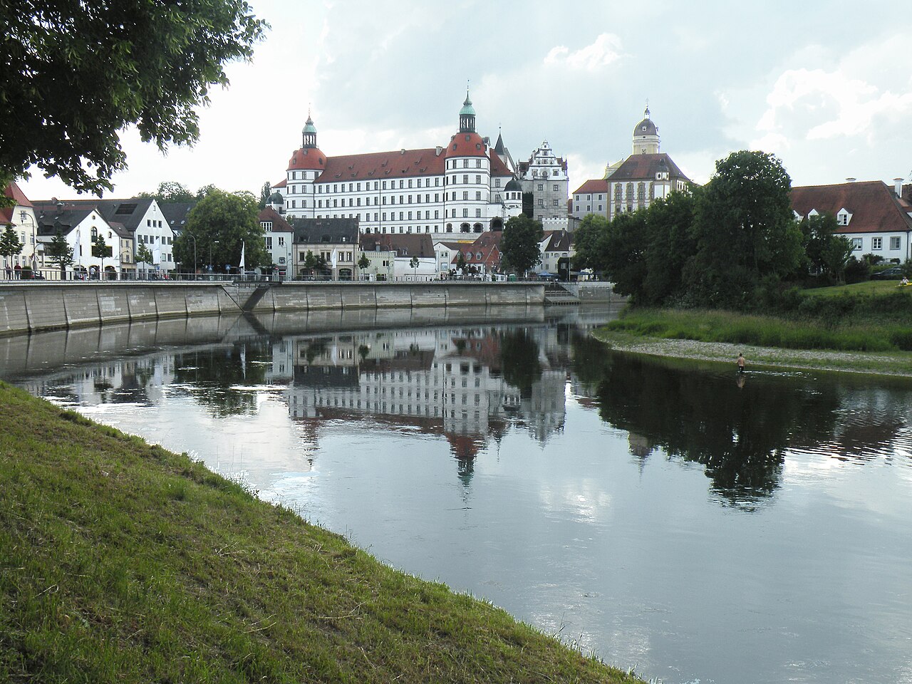
The Neuburg Donauschwimmen leads its four-kilometer course from the Bittenbrunn barrage along the imposing Renaissance backdrop of the town to the rowing club. The Donauschwimmen draws about 8,000 spectators every year to the Neuburg Donaukai. More than 300 volunteers from the Wasserwacht, the fire brigade, the Bereitschaft and the THW are on duty on the day of the Donauschwimmen. For the rescue organizations that take part, the Neuburg Donauschwimmen is also a way to demonstrate their readiness for action during the cold season. After the Neuburg Donauschwimmen, the Wasserwacht Berg crew could warm up again in the Neuburger Hallenbad before the evening ball.
Wellheimer Trockental: ancient riverbeds and Southern Franconian Jura karst
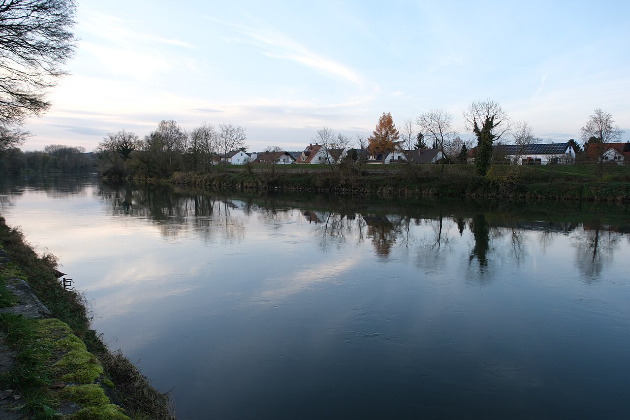
About nine kilometres from the race course lies the Wellheimer Trockental, which reveals the deep history of the river. The valley is almost entirely dry today because the Danube shifted its course further south twice during the Riss glaciation, leaving behind an abandoned riverbed. Through part of this ancient river channel, the little Schutter river now flows in the opposite direction to the ancient Danube. The entire valley is designated as a geotope and bears the official seal of quality as one of Bavaria's most beautiful geotopes. Within this valley corridor between Hütting and Wellheim, the Tucherwald nature forest reserve preserves an undisturbed woodland landscape. About ten kilometres from the swim area, the Naturpark Altmühltal showcases the dramatic rock formations and karst caves characteristic of the Southern Franconian Jura.
The flat limestone slabs found in the quarries throughout the park originated in the lagoons of an ancient Jurassic sea. Here, the Altmühl river flows across the landscape, with its lower course forming part of the Main-Danube Canal, before the original riverbed was converted into old water channels to create thriving wetlands. The park also encompasses protected reserves such as the Weltenburger Enge, and the Altmühl eventually empties into the Danube at the southeastern edge of the park after passing through Kelheim. South of the Danube, about eight kilometres from Neuburg, the post-glacial era shaped a contrasting wetland landscape known as the Old Bavarian Donaumoos. This vast fen formed approximately 10,000 years ago in the wet lowlands left behind after the last glacial retreat.
Over the millennia, layers of peat accumulated at an average rate of one millimeter each year, eventually creating a peat bed up to ten meters thick. Human intervention altered this bog extensively when systematic drainage of the 180 square kilometer fen began in 1790 under Elector Charles Theodore, who directed the excavation of 473 kilometers of drainage canals. Due to the continuous dewatering of peat and subsequent mineralization, the ground loses between one and two centimeters of height annually, and the surface level has dropped by three meters since 1790. About 60 square kilometers of the original fen have vanished completely, yet the history of this drained peatland remains an integral part of the Danube river basin.
The Danube bluffs from prehistoric caves to Neuburg Castle
About eight kilometres from where swimmers enter the water, the Speckberg sits on a rocky outcrop overlooking the Schutter valley, with the Schutter river flowing at the foot of its southern slope. Deep fissures and depressions created by the karstification of the rock protected sediments from erosion, leaving behind rich archaeological deposits. Stone Age groups visited this open-air site repeatedly over short periods to quarry and craft tools from local chert, rather than establishing a permanent settlement. A distinct yellowish tint found on some of these tools was initially thought to represent a separate 'Yellow Industry', but scientific analysis revealed it was simply a chemical coloration caused by local iron enrichment in the soil.
Nearby in the dry valley, about nine kilometres away, the Weinberghöhlen caves open twenty meters above the valley floor near Mauern, where Stone Age humans once sought shelter. Further down the ancient valley, archaeologists excavating near the Feldmühle in the 1980s excavated a Roman swamp bridge. Roughly eight kilometres away at Nassenfels Castle, excavations in 1982 discovered artifacts spanning from 70,000 BC to the Celtic period around 2,000 BC, alongside a 145-million-year-old fossil coral reef discovered at a depth of just one meter. Closer to the modern town, a Roman settlement was established on the high hill overlooking the Danube as an outpost along the Limes border. In the early Middle Ages, Neuburg Castle was constructed directly on the site of that ancient Roman fortress.
Military movements continued across these waters centuries later, when Swedish troops crossed the Danube at Neuburg between 1632 and 1634 during the Thirty Years' War. About six kilometres from the race course, on the southern side of the Danube, the ruins of the Kaiserburg occupy a spur position high above the river valley. About eight kilometres from the race area, the Antoniberg rises as a limestone mountain with a steep cliff face dropping directly toward the Danube.
Danube floodplain forests of Grünau and the Finkenstein rocks
About five kilometres from the swim area on the north bank of the Danube, the Naturschutzgebiet Finkenstein covers 6.18 hectares on a bright Jurassic rock outcrop. Perched above the river, the reserve provides open views across the Danube valley. This rocky sanctuary is exceptionally precious to botanists, as it represents the single location in the entire world where the Bavarian feather grass, Stipa bavarica, grows in the wild. About six kilometres from Neuburg stands Jagdschloss Grünau, set in the largest contiguous floodplain forest area in Central Europe. Originally constructed as a water castle, the fortress has seen its surrounding protective moats silt up over the centuries. Today, the building is registered as an archaeological monument containing medieval and early modern artifacts.
Since 2006, the lodge has housed the Aueninstitut Neuburg, an ecological research center working on large-scale conservation projects for the Danube floodplains. Right along the Neuburg waterfront, swimmers can wander through the Englischer Garten, situated between the Danube and Grünauer Straße.
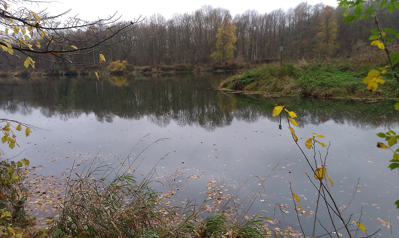
Sources: Neuburg an der Donau · Old Bavarian Donaumoos · Nassenfels Castle
Course
From the Bittenbrunn barrage to the rowing club.
Previous editions
Since 1970
How to get there
55. Neuburg Donauschwimmen 2026
Frequently asked questions
- When was the last edition of 55. Neuburg Donauschwimmen 2026?
- The last edition of 55. Neuburg Donauschwimmen 2026 took place on January 31, 2026.
- What distances does 55. Neuburg Donauschwimmen 2026 offer?
- 55. Neuburg Donauschwimmen 2026 has a single distance: 4 km.
- How much is the entry fee for 55. Neuburg Donauschwimmen 2026?
- The entry fee is 17 €.
- Where does 55. Neuburg Donauschwimmen 2026 take place?
- 55. Neuburg Donauschwimmen 2026 is a river swim. Location: Donau, Neuburg an der Donau, Neuburg an der Donau, Bayern, Germany.
- How do I register for 55. Neuburg Donauschwimmen 2026?
- The reference page for registering for 55. Neuburg Donauschwimmen 2026 is https://neuburg-donau.info/veranstaltungen/donauschwimmen.
Where to stay
Neuburg offers a mix of traditional Bavarian inns, family-run guesthouses in the historic old town, and modern hotels near the riverbanks. For those preferring proximity to the starting area, camping options are available on the outskirts. Expect a price range of €70 to €130 per double room per night during the winter season.
Things to do nearby
Visitors can explore the Renaissance architecture of the town center or visit the local museum dedicated to the Palatine history. The region offers winter hiking trails along the Danube floodplains and traditional Bavarian culinary experiences in the local taverns. For a broader view of the landscape, the historical 360-degree tours of the city provide context for the river’s role in the regional development.
Swimmers
Similar races


Comments
Transparency: some links on this page (stays, flights, experiences, gear) are affiliate links — if you book or buy through them, Omniathlon may earn a commission from the partner at no extra cost to you. As an Amazon Associate we earn from qualifying purchases.