
Travessia 14 Bis
- Nov 7, 2026
- Distance: 24km
At a glance
- Next edition date
- November 7, 2026
- Distances
- 24 km
- Where
- Sea · Forte de São João and Base Aérea de Santos, Bertioga, São Paulo, Brazil
- Entry fee
- 500 BRL
- Registration
- a14.org.br
About the race
Atlantic tides surge into both ends of the Bertioga Channel, transforming a passage of mixed fresh and salt water into a demanding open-water corridor. This natural strait separates the mainland from the island of Santo Amaro in the state of São Paulo, creating the arena for the Travessia 14 Bis. Organized by Associação 14 Bis, the race carries competitors through tidal currents along the emerald margins of the Atlantic coast. The event was first held in 1970 as a bold maritime adventure for its era. Held traditionally each November, the race coincides with the Brazilian Air Force's annual Semana da Asa celebrations. In its earliest editions, the crossing started at the Santos Air Base and finished at the historic ramparts of the fort in Bertioga.
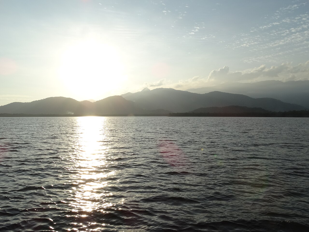
As commercial and passenger ferry traffic increased across the strait, organizers inverted the course so swimmers now start at Forte de São João and finish at the Santos Air Base, avoiding prolonged disruptions to local maritime transit. Covering a single point-to-point stretch of 24,000 meters, the marathon demands constant tactical attention to the water's movement. Because the Bertioga Channel opens to the ocean at both ends, seawater floods into the channel and ebbs away with every tidal shift, blending continuously with river discharge into a brackish stream. Swimmers who study the tide tables can harness the flowing water to gain momentum, turning what could be an exhausting slog into a swift ride.
Yet the conditions are rarely docile throughout the entire six-league journey. In past editions, participants have battled persistent headwinds that churned the channel into choppy water, disrupting sighting and punishing tired shoulders. Near the final four-kilometer mark by the bridge, the tidal current can turn fiercely against the field, demanding absolute physical effort just as stamina begins to falter after hours of continuous swimming. Those who pace themselves properly and work with the channel's natural rhythm find the strength to push past the bridge toward the military airfield.
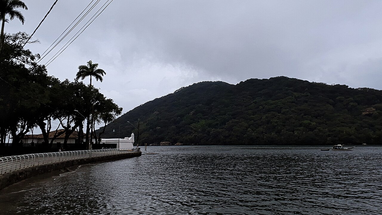
Forte de São João guarding the Bertioga entrance
Designed to control access into the Bertioga River canal, Forte de São João da Bertioga faces directly across the narrow sound toward the Ilha de Santo Amaro. Portuguese colonizers erected defenses here specifically to repel Tupinambá warriors, who regularly traversed the Bertioga Channel in war canoes during raids along the captaincy's coast. The site's defensive lineage traces back to 1547, when Diogo de Braga and his sons raised a wooden palisade known locally as a caiçara. That initial stockade proved vulnerable during a fierce Tupinambá attack in 1551. Over the centuries, nature proved as formidable an adversary as human fleets: in 1769, a catastrophic ocean swell smashed against the seaside ramparts, wrecking part of the terrace and wrenching the sentry box and curtain wall roughly twenty-five centimeters from their foundations. That same 1769 storm devastated the original chapel of São João standing on the adjacent beach.
The wild coastline and waters of Ilha de Santo Amaro
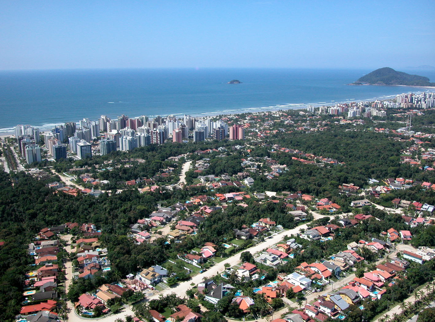
Across the channel, the northern shore of the Ilha de Santo Amaro shapes the opposite flank of the swimming corridor. At Praia do Perequê, a freshwater river winds across the sand into gentle surf breaking between half a meter and one-and-a-half meters, while a freshwater waterfall cascades down the rocks on the left headland. The estuary at Perequê thrives on the same tidal fluctuations that govern the race course. This meeting of forest run-off and Atlantic swells reflects the wild, untamed nature of Santo Amaro's outer coast. Continuing along the shoreline, swimmers exploring the island discover Praia de Pernambuco, spanning 1,800 meters of open beach beside Morro do Mar Casado.
The steep headland features slopes exceeding forty-five percent that are prone to erosion and landslides, earning it formal legal protection as a state heritage monument. What makes the promontory distinctive is its natural tombolo, a rare coastal sandbar that tethers the rock to the shore at low tide but submerges when rising waters unite the surf of Pernambuco and Mar Casado, temporarily turning the hill into an isolated island. Tucked into the slopes of Morro do Sorocotuba between Enseada and Pernambuco rests Praia do Éden, an intimate pocket beach barely one hundred meters long. Reaching its secluded sands requires hiking down a steep hillside pathway of 110 irregular stone steps carved through the forest canopy.
Bertioga seafront and the mouth of the Itapanhaú River
Back on the mainland shore of Bertioga, the terrestrial landscape is anchored by the Restinga de Bertioga State Park. Established in 2010, the reserve protects coastal restinga shrubland, dense mangroves, and lowland Atlantic rainforest. Where the town center borders the water, the Itapanhaú River drains into the Atlantic right between the curve of Enseada Beach and the mouth of the Bertioga Channel. The fort stands directly overlooking this scenic confluence, providing visitors and support crews with a panoramic vantage point over the meeting of river and sea. It is a dynamic seascape where freshwater currents continuously swirl against incoming ocean swells. The beach flanking the fort serves as a vibrant focal point for Bertioga's seaside life.
Drawing more than 40,000 visitors during the peak summer holiday season, the beach near the fort remains a favorite spot for surf fishing and open-water dips. On race morning in November, it turns into a staging ground of focused quiet, where marathon swimmers adjust their goggles and step into the channel for twenty-four kilometers of tidal adventure.
Sources: Bertioga · Forte de São João da Bertioga · Praia do Perequê
Course
How to get there
Travessia 14 Bis
Frequently asked questions
- When is Travessia 14 Bis?
- Travessia 14 Bis takes place on November 7, 2026.
- What distances does Travessia 14 Bis offer?
- Travessia 14 Bis has a single distance: 24 km.
- How much is the entry fee for Travessia 14 Bis?
- The entry fee is 500 BRL. 58th edition (2026). Discounted fee of 250 BRL available for 60+, PCD, and Military. Registration closed early.
- Where does Travessia 14 Bis take place?
- Travessia 14 Bis is a sea swim. Location: Forte de São João and Base Aérea de Santos, Bertioga, São Paulo, Brazil.
- How do I register for Travessia 14 Bis?
- The reference page for registering for Travessia 14 Bis is https://a14.org.br/voluntario.
Where to stay
Bertioga offers a mix of modest 'pousadas' often run by local families and mid-range beach hotels near the canal. For a more immersive experience, some swimmers choose the camping sites located directly behind the dunes of the northern beaches. Expect to pay between R$ 250 and R$ 500 per night for standard double occupancy depending on the proximity to the historic center and the date of your stay.
Things to do nearby
Beyond the water, the region offers guided canoe tours through the mangrove forests of the state park, which are essential for understanding the local ecosystem. Visitors can explore the preserved colonial architecture near the fort or participate in local seafood tastings featuring traditional caiçara cuisine. Hiking trails through the Atlantic Forest provide a vantage point over the coastline, while local surf schools offer SUP rentals for those looking to traverse the calmer sections of the canal at a slower pace.
Swimmers
Other races by this organiser
- Ultra do Ita 2026Bertioga, BR
- Mega do Ita 2026Bertioga, BR
Similar races


Comments
Transparency: some links on this page (stays, flights, experiences, gear) are affiliate links — if you book or buy through them, Omniathlon may earn a commission from the partner at no extra cost to you. As an Amazon Associate we earn from qualifying purchases.