
Bodensee Längsquerung 2026
- Jun 20, 2026
- Last edition date
- Distance: 64km
At a glance
- Last edition date
- June 20, 2026
- Distances
- 64 km
- Where
- Lake · Bodensee, Bodman, Baden-Württemberg, Germany
- Registration
- bodenseequerung.de
About the race
Stretching across international borders between Germany and Austria, the longitudinal crossing of Lake Constance demands between 64 and 68 kilometres of continuous open-water swimming. The Bodensee Längsquerung is an open water lake marathon organised by Bodenseequerung®, linking the German shore of Bodman in Baden-Württemberg to Bregenz in Austria, or vice versa depending on weather and currents. Held in June, the event tests endurance over an official distance of 64,000 metres across the expansive waters of the lake. Undertaking the crossing requires excellent physical fitness and methodical endurance training. Swimmers must adhere strictly to the official regulations established by Bodenseequerung®. During the swim, any physical contact with the escort boat or the accompanying crew is strictly prohibited. Every feed must take place entirely in the water, requiring swimmers to tread water while taking on nourishment from the support team.
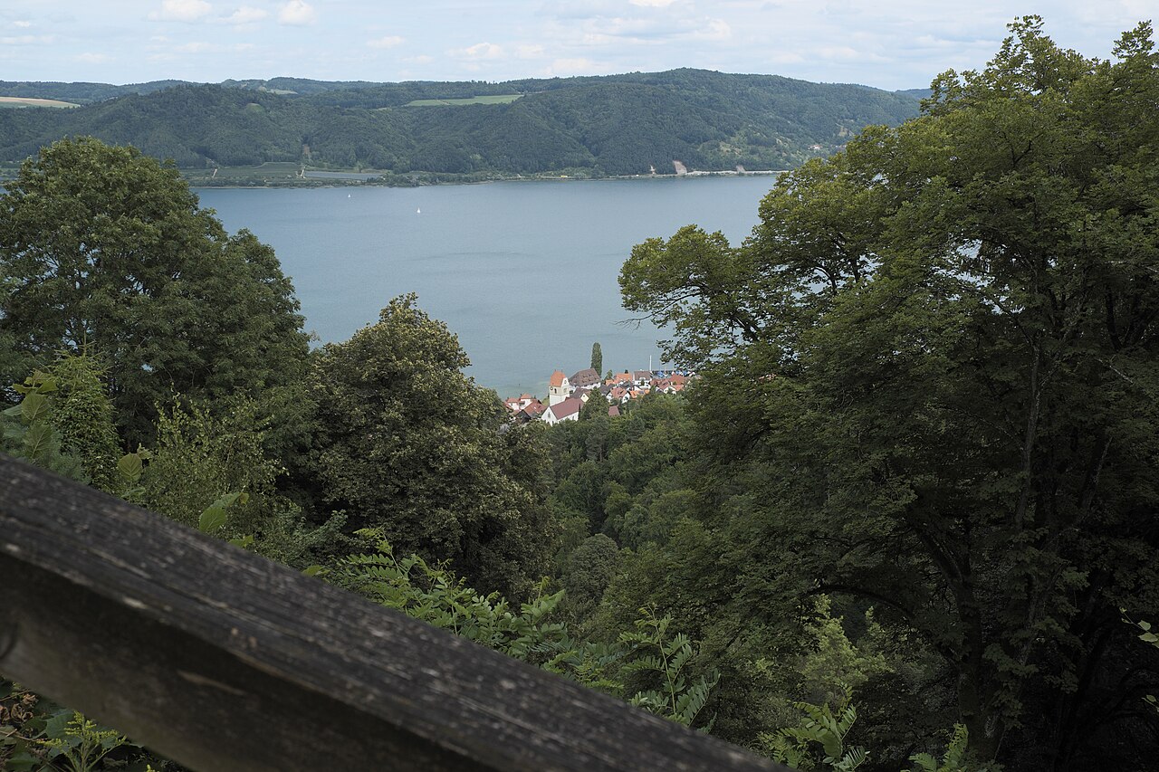
Lake Überlingen: glacial depths and alpine molasse rock
The initial stretch of water leads through Lake Überlingen, which forms the northwestern arm of Lake Constance. Resting at a water surface elevation of approximately 395 metres above sea level, this arm originated as a rift valley formed during the folding of the Alps. During the Würm ice age, the Rhine Glacier shaped the basin, and throughout the Constance stage of the glacial withdrawal it was a glacial lake containing floating icebergs. The rocky walls enclosing this part of the lake are composed of molasse, a soft tertiary sandstone. Below the surface, Lake Überlingen reaches a maximum depth of 147 metres. At Sipplingen, the Bodensee-Wasserversorgung water supply maintains an intake point positioned at a depth of 60 metres. Navigating this glacial rift places swimmers between steep sandstone slopes and profound depths that extend far beneath the stroke.
The submerged Teufelstisch rock needle and deep shelf
Along the Überlinger See is a striking geological formation known as the Teufelstisch. This underwater sandstone needle features a flat plateau measuring approximately 22 by 10 metres. The plateau typically remains submerged between 1.5 and 3 metres below the water surface. A narrow underwater ridge at a depth of about 32 metres connects the rock formation directly to the Bodanrück shelf. On the open lake side, the rock wall of the Teufelstisch drops almost vertically to a depth of roughly 90 metres. In exceptional low-water years such as 1823, 1909, and 2006, when lake levels dropped below 2.30 metres, the stone table emerged completely from the water.
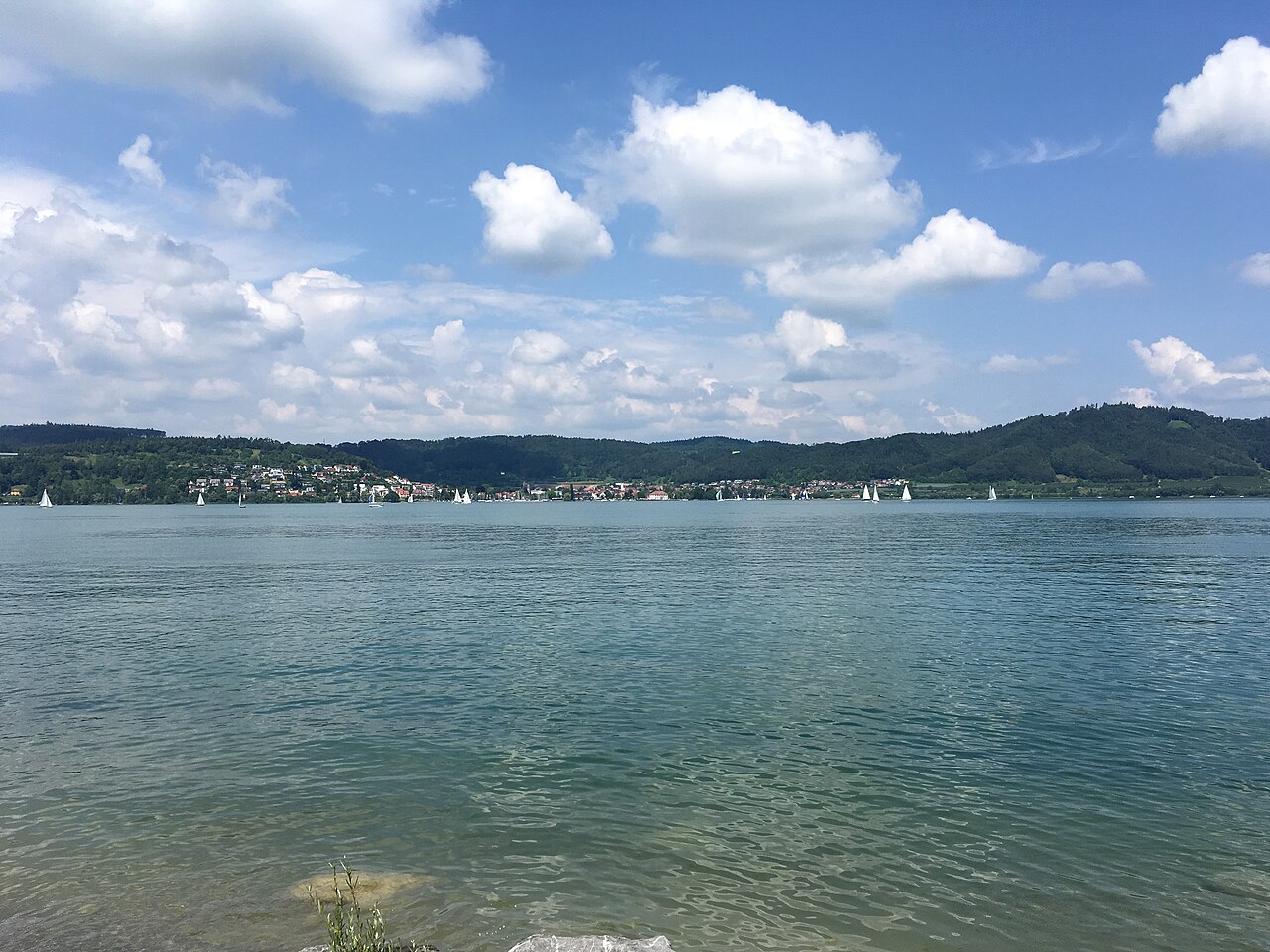
The Bodanrück peninsula: Marienschlucht cliffs and Hörnle point
The Bodanrück is a 112-square-kilometre peninsula that divides the northwestern part of Lake Constance into Lake Überlingen and the Untersee. The peninsula presents a landscape of orchards, pastures, forests, and diverse moor and reed areas. Along its northeast side, the Marienschlucht gorge cuts deep into the molasse rock, having carved an incision approximately 100 metres deep through the cliffs toward the lake shore. At the easternmost point of the Bodanrück lies the Hörnle, a headland that marks the northeastern boundary of the Konstanzer Trichter. Protected nature reserves line the shores of the peninsula, including the Wollmatinger Ried, a wetland area of reeds that has been safeguarded since 1938. Adjacent to this reed reserve, between the Gnadensee and the Untersee, sits Reichenau Island, with a land surface of 4.3 square kilometres and an 11-kilometre circumference.
Inhabited since the Bronze and Iron Ages, the island has been connected to the mainland since 1838 by a causeway, which is intersected near the ruins of Schopflen Castle by a 95-metre-long waterway called the Bruckgraben. In the peninsula's drumlin landscape also lies the Buchensee, the largest of three small glacial remnant lakes, covering three hectares with a maximum depth of twelve metres. Named for its shape resembling a beech tree, it borders the Buchenseen nature reserve adjacent to its swimming area. About ten kilometres from the race area, another finger of land extends into the lake: the Mettnau peninsula.
Measuring 3.5 kilometres long, up to 800 metres wide, and covering 140 hectares, Mettnau lies between the Markelfingen corner to the north and the Zeller See to the south. Its nature reserve was established in 1926 and expanded to its current size in 1984. A pond on the peninsula was created accidentally from a former landfill, and because it is independent of Lake Constance water fluctuations, it provides a dedicated hatching site for ducks. The reserve also encompasses Love Island, situated approximately 200 metres south of the Mettnau shore.
Bodman: pile dwellings and imperial lakeside palace
The starting point in Bodman sits on the westernmost shore of Lake Überlingen, which forms the north-western arm of the Upper Lake. Bodman preserves prehistoric pile-dwelling settlements that are recognized as a UNESCO World Heritage Site. During the early Middle Ages, Bodman served as a Frankish imperial palace, an Alamannian ducal seat, and a mint. Latin sources starting from 833 or 834 AD referred to the surrounding region and the lake as lacus potamicus. Setting out from Bodman's historic shore to swim toward Bregenz leads athletes across sixty-four kilometres of freshwater history, tracing the full length of the lake.
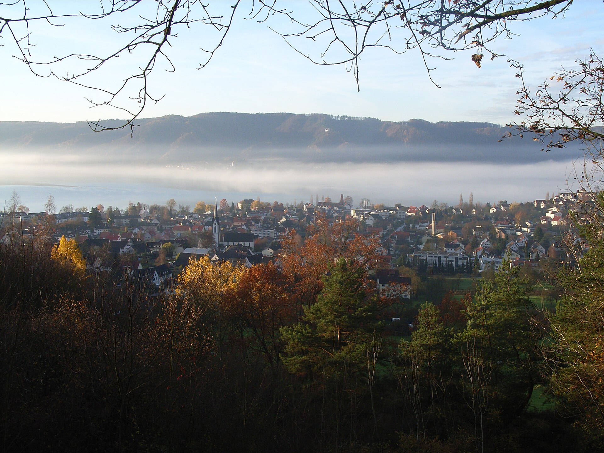
Sources: Bodman-Ludwigshafen · Bodanrück · Lake Überlingen · Mindelsee
Course
The crossing runs between Bodman (Germany) and Bregenz (Austria). Depending on weather and current conditions, the total distance ranges between 64 and 68 km. It can be swum in either direction (North-South or South-North).
Previous editions
How to get there
Bodensee Längsquerung 2026
Frequently asked questions
- When was the last edition of Bodensee Längsquerung 2026?
- The last edition of Bodensee Längsquerung 2026 took place on June 20, 2026.
- What distances does Bodensee Längsquerung 2026 offer?
- Bodensee Längsquerung 2026 has a single distance: 64 km.
- Where does Bodensee Längsquerung 2026 take place?
- Bodensee Längsquerung 2026 is a lake swim. Location: Bodensee, Bodman, Baden-Württemberg, Germany.
- How do I register for Bodensee Längsquerung 2026?
- The reference page for registering for Bodensee Längsquerung 2026 is https://www.bodenseequerung.de/laengsquerung/.
Where to stay
Accommodations in the Bodman-Ludwigshafen area range from traditional family-run guesthouses and historic timber-framed inns to lakeside camping grounds with direct water access. Expect nightly rates between 80€ and 160€ for standard double rooms, while boutique hotels overlooking the harbor can exceed 200€ per night during peak season. Booking well in advance is essential as the area attracts high demand from both cyclists and water sports enthusiasts during the summer months.
Things to do nearby
The weekend of the race offers opportunities to explore the region’s prehistoric heritage, including the reconstructed pile dwellings at the Unteruhldingen open-air museum. Visitors often engage in kayak or SUP tours to view the steep molasse cliffs from the water, or take the ferry to Mainau Island to see its botanical gardens. For those interested in local viticulture, the hillside vineyards surrounding the lake provide perfect spots for evening tastings of Müller-Thurgau and Pinot Noir varieties, which are characteristic of the Bodensee climate.
Swimmers
Other races by this organiser
- 5tartUp Bodensee Bregenzer Bucht 2026Lindau, DE
- Bodensee Breitenquerung 2026Friedrichshafen, DE
- Bodensee Dreiländerquerung 3LQLindau, DE
Similar races



Comments
Transparency: some links on this page (stays, flights, experiences, gear) are affiliate links — if you book or buy through them, Omniathlon may earn a commission from the partner at no extra cost to you. As an Amazon Associate we earn from qualifying purchases.