
XVI Travesía Solidaria Santa Faz Jorge Crivillés
- Apr 10, 2027
- Distance: 9km
At a glance
- Next edition date
- April 10, 2027
- Distances
- 9 km
- Where
- Sea · Playa del Postiguet to Playa de San Juan, Alicante, Comunidad Valenciana, Spain
- Registration
- rc7alicante.com
About the race
The pilgrimage to the Santa Faz sanctuary finds an unexpected open-water mirror along the coastline of Alicante. The Travesía Solidaria Santa Faz Jorge Crivillés is a 9,000-meter open water swimming race in the Mediterranean Sea, tracing the shoreline of Alicante in the Valencian Community from the city center out to the wide sands of San Juan. Founded in 2010 and organized by Club Natación RC7 Alicante, also known as RC7 Swimming, the event is also an established fixture in the regional Copa Alicante open water calendar. The event reimagines the inland devotional trek to the Monastery of the Santa Faz as a point-to-point sea crossing, dedicated in honor of Alicante open-water swimmer Jorge Crivillés, the first Spaniard to complete the Oceans Seven marathon swimming challenge.
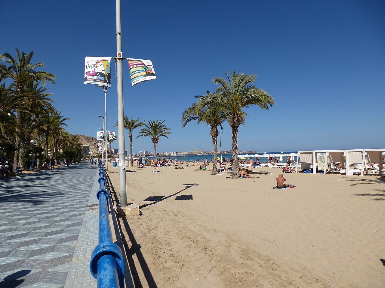
Rather than an individual pursuit of podium spots, the nine-kilometer course from Playa del Postiguet to Playa de San Juan is organized as a non-competitive charity journey. Entry fees and contributions directly support social initiatives, with a portion of the event proceeds donated to the Red Cross and the Spanish Association of People Affected by Myeloma, Lymphoma and Leukemia. Without ranking pressures, swimmers share the passage through open water side by side, united by a common rhythm and a shared purpose across the sea. To ensure participants remain fully connected to the maritime setting and their fellow swimmers, the event strictly forbids the use of any type of watch. Distance and speed are measured entirely by natural pacing, the movement of the swell, and the shifting headlands along the coast.
For safety along this extended coastal route, every swimmer is required to tow a personal visibility buoy and carry an emergency whistle. The Mediterranean water sits around sixteen degrees Celsius, offering clear visibility that allows swimmers to observe the seabed below as they glide across the bay. Fields of three hundred swimmers have set out together across the water in calm, favorable sea conditions. A cherished tradition of the event is the parallel pilgrimage organized along the cliffs for supporters. Friends and family gather at the start on Playa del Postiguet and follow a designated walking route prepared by the organizers that hugs the coastal bluffs, walking alongside the swimmers from above for all nine kilometers until meeting them on Playa de San Juan.
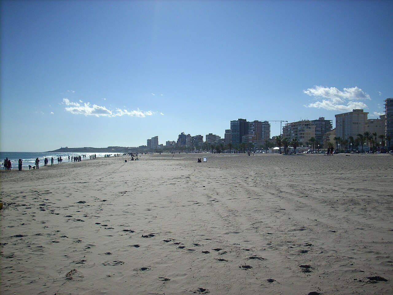
Mount Benacantil: the fortified crag above the starting line
The starting gathering on the sand at Playa del Postiguet sits directly beneath the sheer precipice of Mount Benacantil, which rises 166 meters above the water. Looking up from the beach before stepping into the sea, the eroded rock face reveals the distinctive profile known locally as the Moor's face. Swimmers enter the sea beside slopes rich in antiquity, where excavations have uncovered archaeological evidence from Bronze Age, Iberian, and Roman settlements that flourished along this coastal headland. High above the bay stands Santa Bárbara Castle, an imposing fortress whose oldest surviving structures date from the eleventh to the thirteenth centuries. For generations, this seaward summit drew hostile naval firepower into Alicante's roadstead.
A French naval squadron bombarded the mountain castle from offshore waters in 1691, and the frigate Numancia turned its guns on the castle and the surrounding city during hostilities in 1873. The mountain also preserves the physical scars of underground military engineering. During the siege of 1709, attackers excavated a mine twenty-nine meters into the mountain rock beneath the castle and packed it with fifty-five tons of gunpowder. The resulting detonation on March 3, 1709, dislodged a massive section of the cliff, causing a catastrophic rockslide that buried around four hundred homes in the Raval Roig neighborhood at the base of the mountain. A British fleet of twelve ships sailed into Alicante's coastal waters to provide naval assistance, but rough seas and adverse weather prevented them from intervening.
Rainwater naturally shaped the shoreline around the mountain as well. The Rambla de Canicia was an ancient coastal ravine that gathered seasonal storm runoff from Mount Benacantil and guided it into the Mediterranean Sea. The natural drainage bed historically formed the physical divide between Alicante's fortified city walls and its suburban quarters, until it was filled in and converted into a paved city promenade during the mid-nineteenth century.
Benacantil cliffs and the Albufereta shoreline: coastal nature along the route
As swimmers leave the Postiguet shore, the rocky outline of Benacantil dominates the first stretch of the swim. In 1930, a comprehensive municipal reforestation program planted twenty-one thousand pine trees, along with poplars and eucalyptus, across sections of the mountain. By contrast, the steep southern and western rock faces remained barren and exposed due to their sheer incline and arid terrain. Saltwort was historically grown on the slopes of the mountain for commercial trade, and wild patches of pennyroyal and rock tea thrive across the rocky ground. These rugged botanical pockets accompany the initial segment of the course as the mountain gradually recedes behind the swimmers' shoulders. Long before modern developments framed this part of the shore, l'Albufereta was a vast coastal swamp, which was systematically drained in 1928 to transform the local topography. Swimmers pass this low-lying coastline as they settle into their mid-race pace toward San Juan.
Paseo del Postiguet and the waterfront: life along Alicante's shore
The departure point at Playa del Postiguet holds a rich seaside history of its own. The beach was originally a rugged shore composed of loose stones where fishermen from the Raval Roig neighborhood hauled and beached their working boats. Emerging hygienic trends in the late nineteenth century spurred the city to transform the rocky shore into a recreational sand beach. At the eastern end of the beach lies Playa del Cocó, an area where celebratory fireworks are set off after the Hogueras de San Juan festivities, sheltered by an L-shaped breakwater spanning 178 meters that replaced an earlier dike built in 1993. The city's pedestrian promenades line the beach and provide an inviting place to gather before and after swimming.
The Paseo del Postiguet stretches between Puerta del Mar and the La Marina station, paved with hexagonal turquoise blue cobblestones and planted with palm gardens that complement the palms growing directly on the sand. A pedestrian footbridge links the waterfront to the historic streets of Raval Roig on the slopes above. Adjacent to the beach, the celebrated Explanada de España in Alicante features 6.5 million marble tiles laid in an undulating wave motif. Along the harborfront adjacent to the Explanada, Canalejas Park was designed in 1886 upon land previously occupied by the historic city shipyard. Maritime navigation at the harbor entrance has evolved across successive eras. Alicante's first lighthouse was erected in 1842 following a shipwreck in the bay, constructed with the forced labor of three hundred convicts from the local prison, and featured a hexagonal stone base supporting a thirty-meter wooden tower.
After temporary metal beacons were installed during pier expansions in 1855 and 1869, the harbor was marked in 1912 by the present nine-meter cast-iron skeletal tower standing on three legs, an installation fueled across the twentieth century by petroleum, gasoline, and electricity. Swimmers lingering in the area can venture eight nautical miles south to Tabarca Island, an ancient refuge for Barbary pirates, or visit the underwater archaeology exhibits at the MARQ museum before setting out for the open sea.
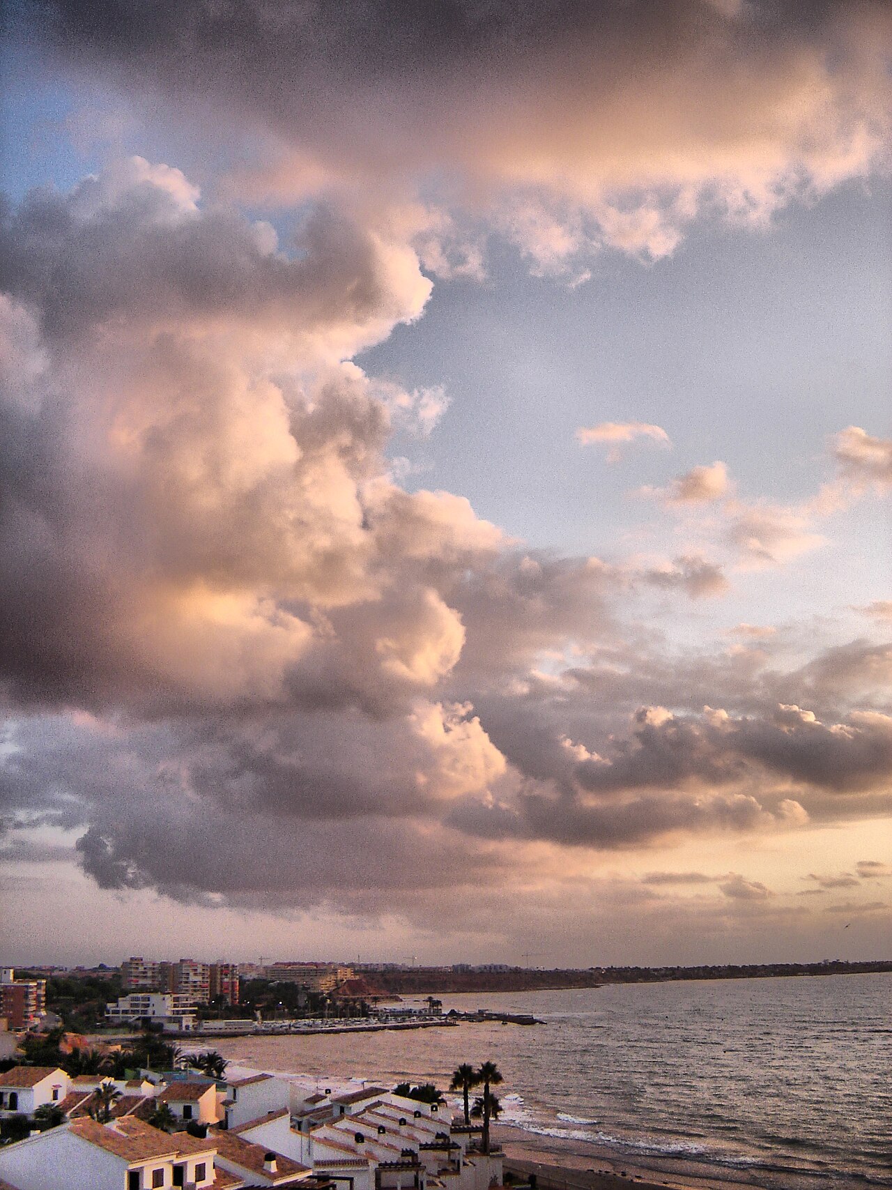
Sources: Alicante · Parque de Canalejas
Course
The route covers 9 kilometers in open water, following the path of the traditional terrestrial pilgrimage, starting at Playa del Postiguet and finishing at Playa de San Juan.
Awards
The event is explicitly non-competitive; the focus is on participation and solidarity rather than rankings.
Previous editions
Since 2010
- 2026Apr 18, 2026
How to get there
Alicante-Elche Airport (ALC) 15 km away. Alicante Terminal train station (AVE/Renfe connections). To reach the site: urban bus lines 21 or 22, or taxi/car (15 min). Parking available at the Monasterio de Santa Faz or nearby areas; arriving early is recommended due to road closures for the event.
XVI Travesía Solidaria Santa Faz Jorge Crivillés
Frequently asked questions
- When is XVI Travesía Solidaria Santa Faz Jorge Crivillés?
- XVI Travesía Solidaria Santa Faz Jorge Crivillés takes place on April 10, 2027.
- What distances does XVI Travesía Solidaria Santa Faz Jorge Crivillés offer?
- XVI Travesía Solidaria Santa Faz Jorge Crivillés has a single distance: 9 km.
- Where does XVI Travesía Solidaria Santa Faz Jorge Crivillés take place?
- XVI Travesía Solidaria Santa Faz Jorge Crivillés is a sea swim. Location: Playa del Postiguet to Playa de San Juan, Alicante, Comunidad Valenciana, Spain.
- How do I register for XVI Travesía Solidaria Santa Faz Jorge Crivillés?
- The reference page for registering for XVI Travesía Solidaria Santa Faz Jorge Crivillés is https://www.rc7alicante.com/travesia-de-santa-faz/.
Where to stay
Alicante offers a diverse range of lodging near the coastline, from boutique hotels clustered around the port and the historic center to functional apartment rentals in the Albufereta and San Juan beach districts. During the peak season, typical rates for a standard double room in a 3-star hotel range from €90 to €150 per night, while beachfront apartments near the finish line can fluctuate significantly depending on the booking window and proximity to the sand.
Things to do nearby
The weekend provides opportunities to explore the local maritime heritage, including guided boat trips to the Tabarca marine reserve for snorkeling or diving among rocky atolls. In the city center, visitors can hike the trails leading up to the Santa Barbara Castle for panoramic views or participate in wine tasting sessions featuring local Alicante D.O. labels. For those preferring active outings, kayak and SUP rentals are readily available along the coves of the Cabo de la Huerta, allowing for a closer inspection of the rugged coastline.
Swimmers
What to see around
1. Santa Bárbara Castle (panoramic view of the city). 2. Esplanada de España (iconic promenade). 3. Postiguet Beach (ideal for recovery). 4. Tabarca Island (boat excursion for snorkeling). 5. Archaeological Museum of Alicante (MARQ).
Similar races



Comments
Transparency: some links on this page (stays, flights, experiences, gear) are affiliate links — if you book or buy through them, Omniathlon may earn a commission from the partner at no extra cost to you. As an Amazon Associate we earn from qualifying purchases.